Traditional vs. Modern Farming Techniques: A Comparative Analysis
- info@farmkit.io
- 5000 Yonge St Suite 1901, Toronto, ON M2N 7E9
Understanding Soil Salinity and Salinization: A Comprehensive Guide
farmkit_admin
October 3, 2023
Smart Agriculture
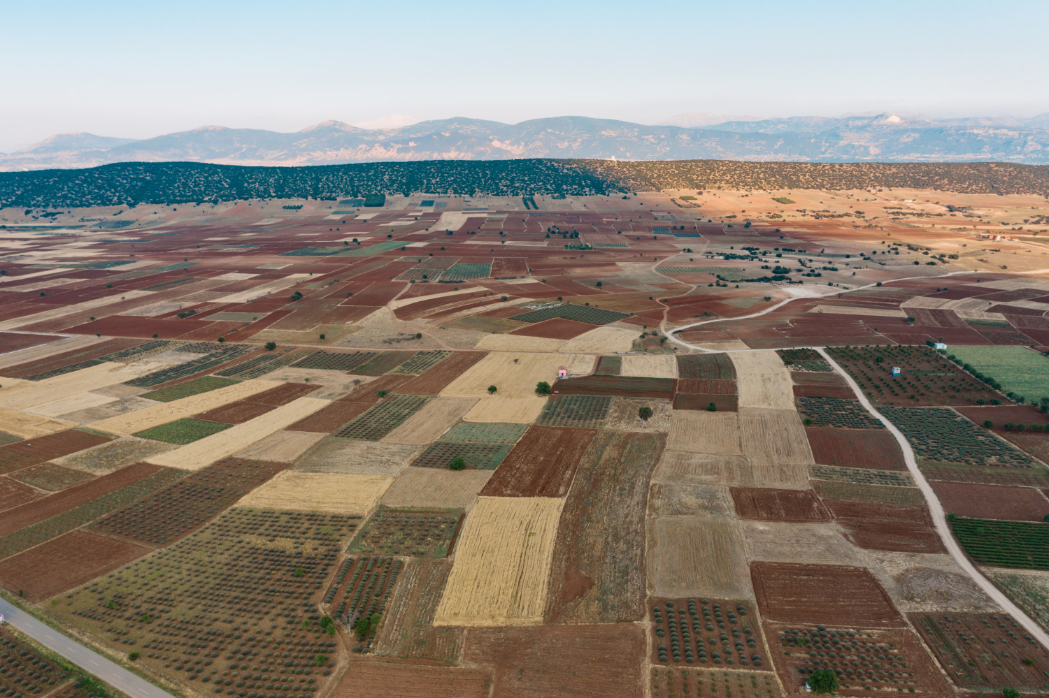
Soil salinity, a critical factor in agriculture and environmental management, refers to the concentration of salt in soil. It’s a phenomenon that affects both the top and deeper layers of soil, with varying impacts based on soil type. This guide aims to provide a clear understanding of soil salinity and its implications, especially in agricultural contexts.
Recognizing Soil Salinity
The presence of salt in soil can be visibly noted, for instance, when driving across salt-laden fields where tire treads become more apparent due to the salt content. Different soil types contain varying amounts of salt, with heavier soils generally having higher salinity levels than lighter ones.
Impact on Agriculture
Soil salinity significantly influences agricultural productivity. Excessive salt in the soil can hinder plant growth, affecting crop yields. Factors contributing to increased soil salinity include rainwater, irrigation practices, and industrial and domestic sewage, which can introduce additional salts into the soil. Furthermore, human activities can lead to the leaching of soil salts into the atmosphere, exacerbating the issue.
Methods of Salinity Assessment
Understanding the level and distribution of soil salinity is vital for preventing it from becoming a more significant problem. Two primary methods are used for this purpose:
- Manual Analysis with Field Equipment: This involves direct measurement of soil salinity using specialized tools on-site.
- Remote Sensing Techniques: These employ satellites orbiting the Earth to extensively study soil salinity and vegetation. Remote sensing is particularly effective in arid and semi-arid regions where vegetation heavily depends on soil properties, including salinity.
Case Study: Drainage Construction and Soil Salinity
A recent study focused on the impact of constructing drainage on soil salinity and vegetation over fifteen years. Specifically, it examined the central salt marsh of Qazvin, Iran. The study revealed that the construction of retaining drainage had no significant effect on changes in soil salinity and vegetation. Satellite image analysis before and after the drainage construction showed no notable differences, indicating no change in salinity levels.
Satellite Data and Soil Analysis Correlation
The study further established a correlation between satellite data (specifically bands 5 and 7) and soil characteristics. Before the drainage, these bands correlated significantly with sodium uptake ratios. Post-drainage, they were more closely related to electrical conductivity. Additionally, red and infrared bands showed a significant relationship with soil salinity parameters. High correlation coefficients were observed between the soil salinity index and terrestrial data in saline areas.
Conclusion
Understanding and managing soil salinity is crucial for sustainable agriculture and environmental preservation. Both field analysis and advanced techniques like remote sensing play pivotal roles in monitoring and addressing salinity issues. This knowledge is essential for developing effective strategies to mitigate the adverse effects of soil salinity on agriculture and natural resources.