Traditional vs. Modern Farming Techniques: A Comparative Analysis
- info@farmkit.io
- 5000 Yonge St Suite 1901, Toronto, ON M2N 7E9
Soil Salinity and Salinization of Soils: A Guide to Knowing What You’re Dealing With
farmkit_admin
March 31, 2022
Smart Agriculture
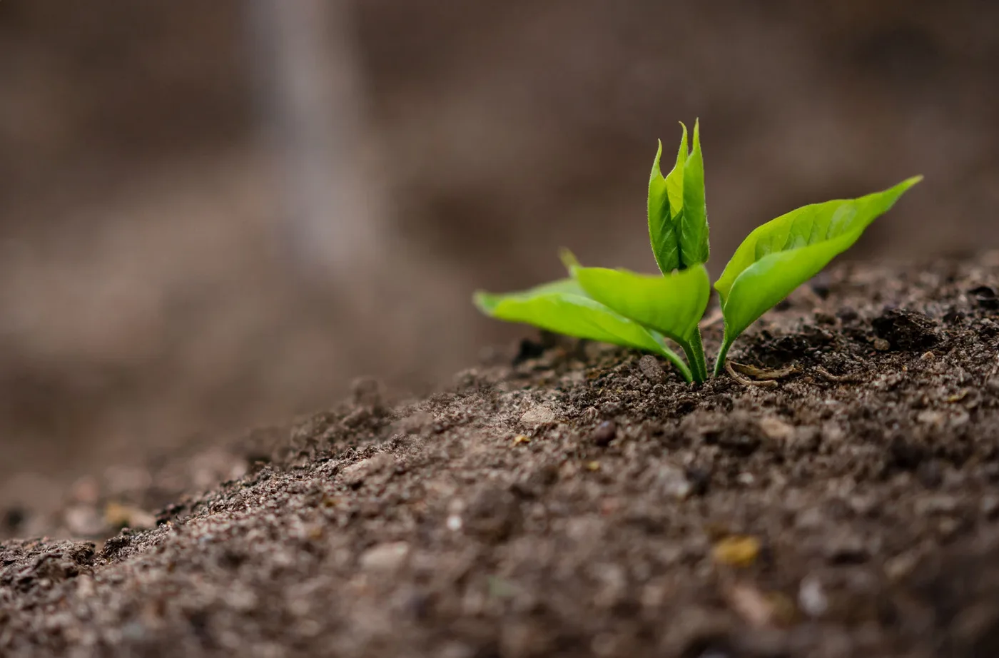
Soil salinity is the amount of salt in the top layer of soil. The bottom of the soil can also contain salt, as is also the case in inland areas. When a person drives across a salt-laden field, the first sign is that the tires’ tread depth becomes visible because the tread, which contains salt, disappears. Soils of different types contain different amounts of salt. Heavy soils are much saltier than light soils.
Since salt is a major component in many foods, soil salinity can have a detrimental impact on agriculture. Rain, as well as irrigation and industrial and domestic sewage, can contaminate the soil with salts. Human activities can also cause soil salts to leach into the atmosphere.
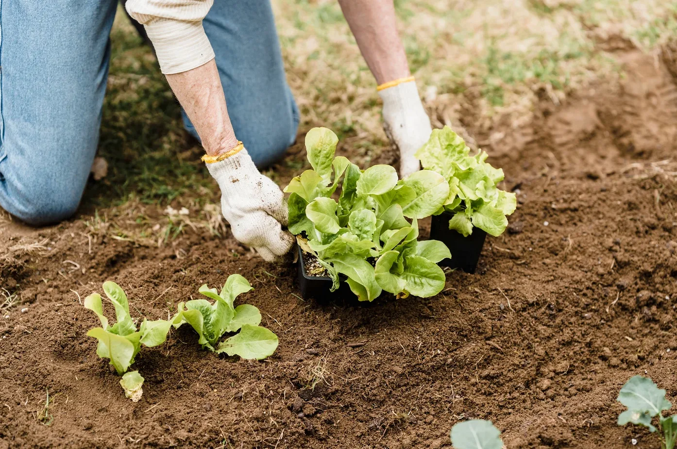
Soil salinity and soil salinity, as one of the problems facing agriculture and natural resources, is very important. In this regard, obtaining information about soil salinity and vegetation such as their amount or distribution is very important to prevent it from becoming a problem in future. The two main ways for determining whether there are any changes in the level of salt content within soils are through manual analysis with field equipment or by using remote sensing techniques that employ satellites orbiting around Earth’s surface.
The use of satellite data allows the extensive study of soil salinity and vegetation. Given that vegetation in most arid and semi-arid regions is strongly influenced by soil properties, including salinity; this method has proven to be a valuable tool for understanding how plants interact with their environment. Satellite imagery can also provide more information on plant communities than ground surveys because it provides an overview over large areas without having to manually collect data from each location. Therefore, in the present study, the effects of constructing drainage on the trend of changes in soil salinity and vegetation have been investigated using remote sensing capabilities over fifteen years. The results of this study show that the construction of retaining drainage in the central salt marsh of the city of Qazvin in Iran, did not have any effect on soil salinity and vegetation changes. The indicators extracted from satellite images showed no significant difference between periods before and after construction, which means there was no change.
The correlation test between the measured elements in the soil and satellite images showed that bands 5 and 7 were significantly correlated with sodium uptake ratios before construction of a drain, but after drainage implementation, they became most importantly related to electrical conductivity. Indicators including red and infrared bands have shown a significant relationship with soil salinity parameters; also, the results of correlation tests with remote sensing data in saline areas showed that there is a very high-level correlation coefficient between the soil salinity index and terrestrial data.